Patterdale to Howtown (Ullswater) via Angletarn Pikes, Brock Crags, Rest Dodd and The Nab. 10miles 2850ft.
 |
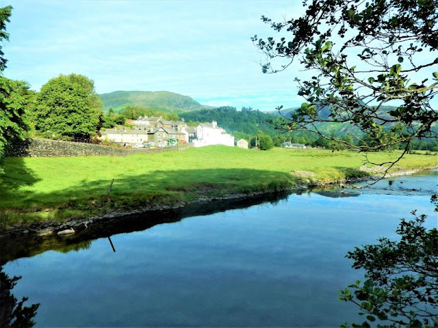
| Leaving Patterdale over Goldrill Beck |
 |
| Glenridding ferry landings on Ullswater |
 |
| Brotherswater with High Hartsop Dodd behind from the path to Angle tarn |
 |
| Angle tarn from the summit of Angletarn Pikes 1857ft |
 |
| Angle tarn again from the path to Brock Crags |
 |
| Approaching the summit of Brock Crags 1842ft |
 |
| Rampsgill Head on High Street with the path to Rest Dodd below |
 |
| Looking north from the summit of Rest Dodd 2283ft |
 |
| The Nab now lies straight ahead |
 |
| The Nab lies in part of the Red Deer forest reserve and if you walk quietly you can sometimes catch a glimpse of them like this from the summit of The Nab 1887ft |
 |
| Now looking back at the Nab from Martindale |
 |
| I passed an Outward Bound group on The Hause above Ullswater |
 |
| Descending now to Howtown on Ullswater |
 |
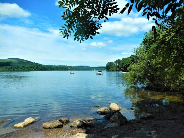
| A final cup of coffee on the side of Ullswater |
No comments:
Post a Comment