Tuesday 27 February 2018

Hollingworth Lake and Blackstone edge

Starting the walk round Hollingworth lake

 Blackstone edge to the east above the lake

Across the lake to the village of Smithybridge

A carved tree sculpture


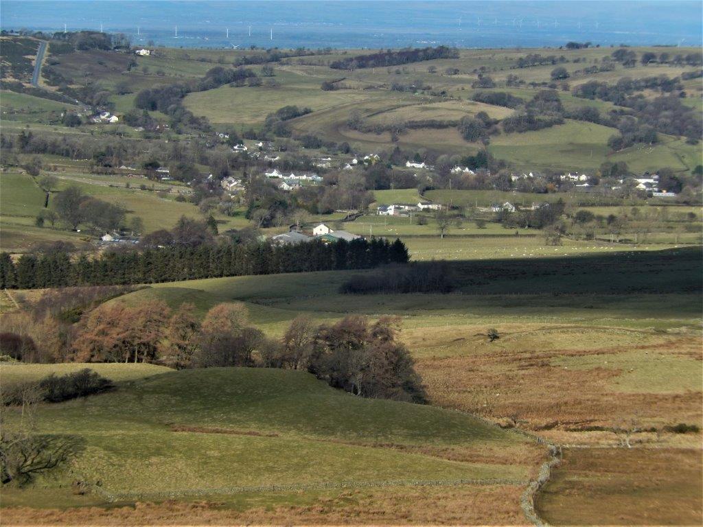
Calderbrook village with the A58 to Halifax in the foreground

The trig point on Blackstone edge 472m (1549ft)

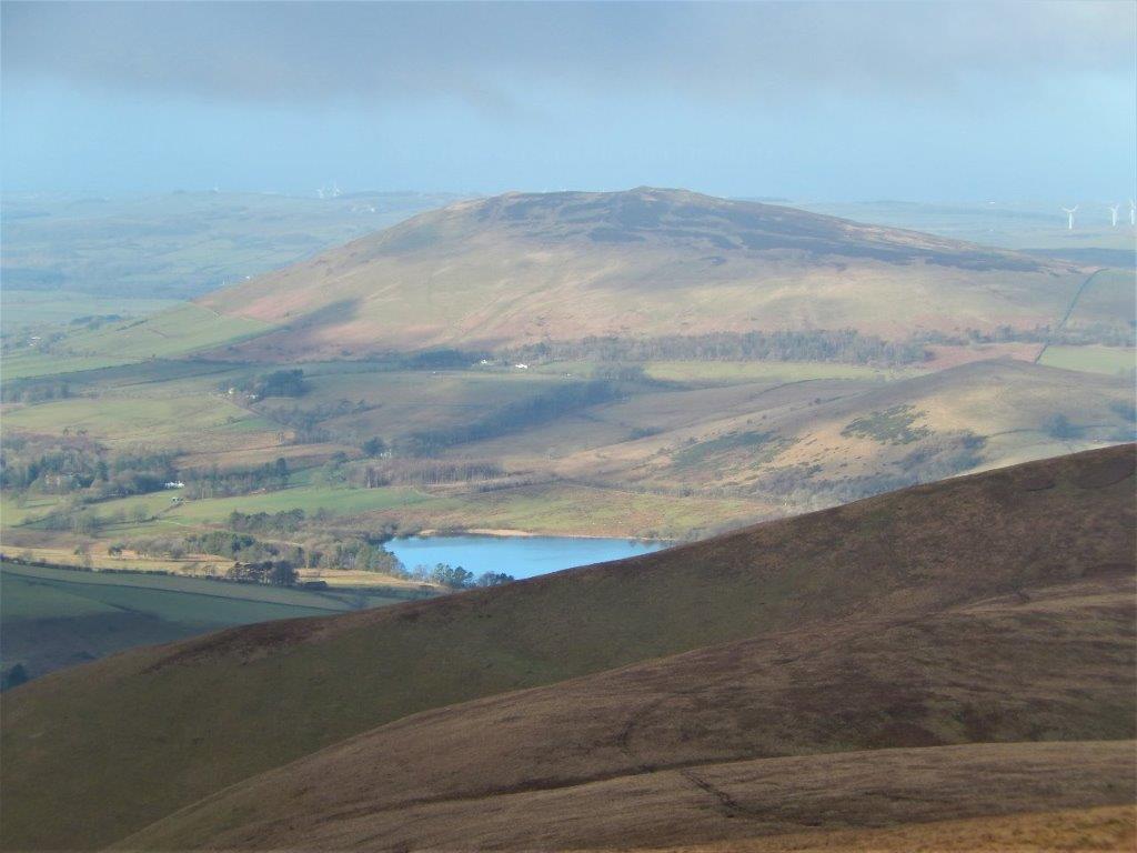
Hollingworth lake in the distance

Zooming in on Hollingworth lake with Rochdale behind

Gritstone outcrops on the moor

The White House pub and restaurant on the A58

Wednesday 21 February 2018

A circuit in the Caldbeck fells over Knott and High Pike - 10miles

Longlands fell above Charleton Gill

Looking west with the Northern tip of Bassenthwaite lake
just visible

Over water - with Binsey fell behind

The cairn on Little Sca fell
(no connection with England's highest mountain)

Great Sca fell from Little Sca fell 

Clouds just starting rise off the higher fells

Lingy Bothy on the Cumbria Way (Long Distance Path)
above Mosedale

Very basic but potentially life saving in bad weather


Heading up to - High Pike 658m (2157ft)

The summit trig point with wind shelter and memorial bench...

....sadly for a 16yr old

A millennium commemoration on top of the trig point
(with a curlew?)

 Bowscale fell with Blencathra behind

Knott 710m and the western ridge traversed earlier in the day when in cloud

Descending north to the village of Caldbeck

 Caldbeck village


Wednesday 14 February 2018

Keswick to Rosthwaite 9 miles

Derwentwater and the Newland fells from the climb out of Keswick

Looking back to the Skiddaw fells....

....and Blencathra

Views from Walla Crag 376m -
Derwentwater, Bassenthwaite and Keswick 

Looking south down Borrowdale.... 

 ....and west across the Derwentwater

Derwentwater and Bassenthwaite from the path to Ashness Bridge

The Lodore steamer pier and river Derwent

Photographers making the most of low, clear, winter light

Ashness Bridge - the most photographed view in Lakeland

Derwentwater again from 'The Surprise' viewpoint

My usual lunchtime company!

 Watendlath bridge below the tarn

Watendlath farm and tarn

Descending into Rosthwaite in Borrowdale

Tuesday 6 February 2018

The west ridge of the Kentmere Round from Troutbeck 10.5 miles 3000ft.

Leaving Limefitt Park Troutbeck, still in shadow, with the ridge walk behind. 

Gaining height towards the ridge

Looking over Troutbeck to the Coniston fells

Approaching Buck Crag on the ridge

Blue skies and ever deeper snow

Looking back south with Windermere just visible

Approaching Yoke 706m 2316ft

The Scafell range to the west

A lone fell runner.....

.....as she heads for Ill Bell, the next summit!

Kentmere reservoir to east of the ridge

The summit of Ill Bell (757m 2484ft) today's highest point

looking south back to Yoke

Looking across Kentmere to Mardale, Ill Bell and Harter fell

Zooming in on the Scafells with Mickledore gap between them 

Ill Bell from Froswick 720m 2362ft

Returning to Troutbeck down Hagg Gill


A last look back at the day's walk from (a now sunny) Troutbeck