Sunday 29 October 2017

High Street ridge - Bampton to Mardale Head

Sunrise over the Lowther Valley near Bampton

Autumn colours catching the early morning light


Mist still hanging in the Lowther Valley

Haweswater dam from the start of the High Street ridge

My first sighting of deer on the high fells of the Lake District

Blencathra and Skiddaw to the north-west

Only a shadow of my former self - with Ullswater just visible now

Looking west from the ridge 

(l to r) Striding Edge, Helvellyn, Swirral Edge, Catstye Cam

Kidsty Pike with Haweswater just visible

High Street summit on Racecourse Hill

Zooming in on Kidsty Pike 
(The highest point on the Coast-to-Coast path)

Hayeswater looking down towards Patterdale

High Street summit trig point (828m: 2718ft)


Looking south (into the sun) to Windermere

Haweswater and Small Water

Small Water 

Small Water and Haweswater from Nan Bield pass

Not my idea of 'glamping' (beside Small Water)

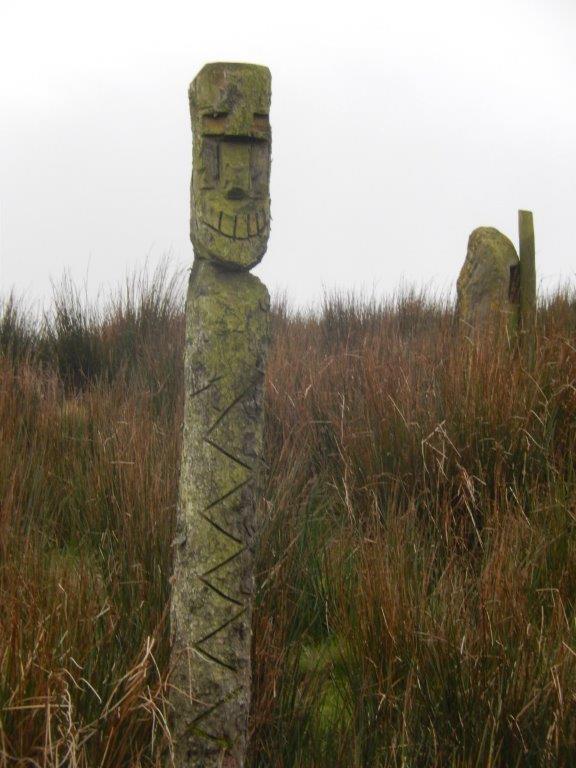
Sign board in Mardale Head car park

Tuesday 24 October 2017

Appleby to Preston - Day - Wray to Abbeystead 14miles 2250ft ascent

Setting off from the picnic area memorial to the Wray flooding
disaster of 8th Aug 1967. This year is the 50th anniversary.


Totem poles in Roeburndale? 

A brief burst of sunshine on Mallowdale

Looking west from Littledale with Morecambe bay just visible top
left

Part of the wind farm on Caton moor

Higher Lee house in near Tarnbrook

The Tarnbrook Wyre just outside Abbeystead

Monday 16 October 2017

Appleby to Preston - Day 4 - Kirkby Lonsdale to Wray (9.5 miles 600ft)

Leaving Kirkby Lonsdale by Devils Bridge

Looking back along the River Lune to Calf Top (from Day 3)

Very high water levels in the river after all the recent rain

A result of previous flooding....

...but fortunately still just about usable

Then the warning notice appears about a mile further on

The Morecambe to Settle rail line Lune viaduct


A nice view for a coffee stop!

Even better if I'd seen this first!

A brief moment of sunshine on the river...

...from the bridge into Hornby

Looking back at Hornby castle

Main street Wray (famous for its scarecrow festival)

A short day's end by the 50th anniversary memorial of Queen Victoria's reign 

Saturday 7 October 2017

Appleby to Preston - Day 3 - Sedbergh to Kirkby Lonsdale (14 miles 2550ft)


Leaving via the 'dead centre' of Sedbergh (ie. through the cemetery)


Footbridge over the river Rawthey


Looking back to Sedbergh in early morning light....


..... with Winder fell behind.


More of the Howgill fells with Fell Head 623m (2044ft) centre right


The Howgill range from Long Bank


Today's highpoint - Calf Top 609m (2000ft) with views to Morecambe bay


Looking west down Barbondale from Calf Top...


...and east to Dentdale....


...and directly below!


Looking back to Calf Top from Castle Knot


The view to Morecambe bay from Castle Knot


The Scafell range with Kendal in the foreground


The village of Barbon just below


St. Bartholomew's church, Barbon


Today's destination Devils bridge Kirkby Lonsdale


Joined by a Robin, looking for a morsel.


Devil's Bridge at Kirkby Lonsdale