Thursday 31 December 2020

Haweswater, Measands End and Lad Crags from Burnbanks, 6miles 1600ft

A lovely half day climb to enjoy some snowy mountain scenery


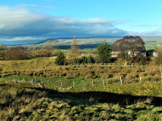
Setting off from Burnbanks with todays objective on the horizon

The first mile or so follows the coast to coast path along the side
of Haweswater

Crossing Measands beck

Looking north up Haweswater with the dam visible in the distance

The path then climbs alongside The Forces waterfalls on Measands
beck

Now climbing Measands End with the view to Fordingdale Bottoms

Then past Measands Crags

Now above Lad Crags looking south to Branstree, Harter fell and
Mardale Ill Bell

Kidsty Howe and Riggingdale Crags rising to High Street

Lunchtime looking up Haweswater with the snow covered North
Pennines on the horizon

Zooming in on Mardale Head 

The Haweswater dam on the final descent back to Burnbanks


Wednesday 16 December 2020

Brough to Tan Hill 11miles 2000ft

A somewhat challenging but beautiful day in the dales  

Leaving Brough over the A685 to Kirkby Stephen

Looking back to Brough castle

The North Pennines on the horizon from the disused railway which
ran from the coal mines of the north east to the main line at Tebay

The rather precarious crossing point of the River Belah

Looking back down Belah dale 

....and again

A very typical Yorkshire Dales landscape

My destination The Tan Hill Inn appears on the horizon

....and here it is at 1732ft the highest pub/inn
in the British 
Isles 

It frequently gets snowed in and customers are (un)lucky enough to
have an enforced stay! 

A final look north with the A66 trunk road visible
crossing Bowes

Moor 


Saturday 12 December 2020

Lonscale fell and Keswick to Threlkeld Railway Trail Part 2

 Much of the trail was washed away in the 2015/2016 floods in Lakeland. The trail only recently reopened after £7.9 million renovation on the weekend  December 5th/6th 2020

Joining the 6.2 mile trail approx half to Threlkeld at Wescoe Wood 

One of the many bridges over the river Glenderamackin

One of the two tunnels on trail


Having been a railway line the walking is very flat and easy going

"Who turned my plans upside down?"


The final stretch from the river into Threlkeld


The view to Blencathra from Threlkeld


Wednesday 9 December 2020

Lonscale Pike circuit from Threlkeld 11 Miles 2300ft. Part One..


Leaving Threlkeld as the early mist rises up the slopes of
Blencathra

Mist too in The Vale of St John 

Walking up the Glenderamackin valley to the 'Back O' Skiddaw'

Today's objective the East Peak of Lonscale Pike 2344ft beautifully
clear of cloud for now!!!!

A very different prospect looking back down the valley

Then whilst ascending Burnt Horse ridge the cloud arrives....

....and I'm left having to use my imagination for the view straight
down to the valley from the East Peak

Now on the summit plateau however there are compensations however in.... 

....and out of cloud

Blease fell on the side of Blencathra now catching the sun

Plenty of interesting cloud formations in and around High Rigg

A final view back up the Glenderamackin valley from the start of
the walk back to Threlkeld....to be continued.