Tuesday 24 May 2016

Pennine Way - Byrness to Windy Gyle

Day 1 (of 2) of the last 28 miles of the Pennine Way over the Cheviot Hills from Byrness to Windy Gyle. 
15 miles - 3000ft of ascent. 
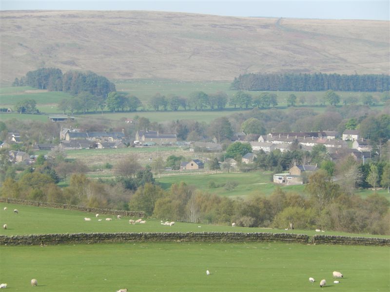
Climbing out Byrness Catcleugh reservoir and Redesdale forest come into view

Zooming in on the reservoir

Looking back over Houx hill and Windy Crag

One woman in this group behind us was on her last day of 15 spent walking the Pennine Way. She was walking all 28 miles to Kirk Yethom that day!

John's favourite pennine Way path surface......

... duck boards across bogs!

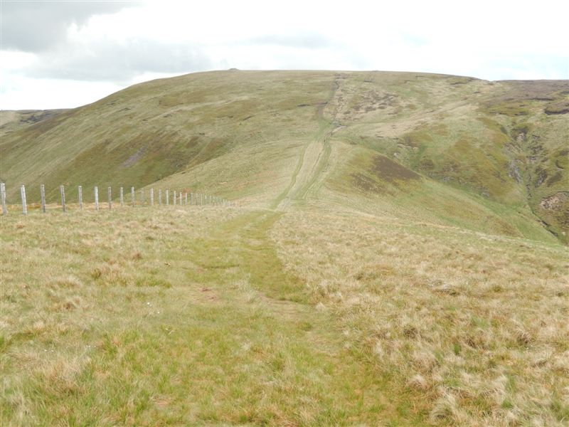
Arriving at and now following the disappointing fence line of the Scottish Border. John had forgotten his kilt and said there should have been a piper here. 

Looking north with the 'whale back' of the The Cheviot 2,680ft just visible on the horizon ( the highest point in Northumberland )

Zooming in on The Cheviot with the large cairn on the summit of Windy Gyle just visible on the left of it, our destination today.

Looking west over the Scottish Borderlands 

A flock of Jacobs sheep high up on the moors

Looking west toward Jedburgh with a mountain rescue hut back down the path. 

The cairn on Windy Gyle now more clearly visible on the horizon

Getting closer to our last climb of the day

....and closer

Starting the steep descent into our pick up point in the Coquet Valley 

First sight of  Trows farm our pick up point

Nearly there...

Enjoying the sunshine by Trows burn waiting our transport

Still waiting.

Sunday 15 May 2016

Pennine Way - Bellingham to Byrness

The Pennine Way information board

Climbing out of Bellingham - at 8am!

Bellingham again

Sign board at the first farm 
the farmer saw us taking a picture and assured us it was true!

Whitley Pike...  which way  or which bog to go into.......?

........the wrong bog because this one was Whitley Pike ! 
The last one was Deer Play hill

9 miles and many ups, downs and bogs later ...
approaching Kielder Forest

Down again..... !

....and up again only to land in Rumbling Dike Bog ( yet another ) 

Finally on a hard surface in Kielder Forest- a very hard surface after 16 miles!

Kielder sign board

A last gentle mile or two following the river Rede into Byrness

St Francis of Assisi church now closed but used to be the Anglican parish church circa 1750

A lonely 'Meandertal' far from home 
and propped up by a sign board!
(The Meanderthals are another group of elderly walkers of which John is a member.)

Sunday 8 May 2016

Sunday (Part 1) Danny's View of Majorca

The return of the sunshine today!


Taking refreshments at Cala Millor castle


Our hotel from the promenade

The bay of Cala Millor

The castle

The pools at our hotel

The 'lengths' some people will go to for their art!

What Anthony was trying to get.
Barbara and Val


Mary with her video camera

Danny (and somebody 'photo bombing'!)

Barbara, Mary, Barbara and Diane

Friday 6 May 2016

Part of the Pennine Way in Northumberland
Looking back south towards Hadrians wall with Broomlee Lough below it. 

Looking back down the track before we entered part of the Kielder forest

Crossing the Wark Burn


Fortunately this sign was a load of Bull....

Arriving at our destination - Bellingham - via the bank of the river North Tyne. 15 miles and 2,150 ft later.