Wednesday 30 July 2014

Gaping Ghyll - Clapham (North Yorks)

Clapham Beck where it flows through the village

'The Lake' on Clapham Beck 

The path leading up to Ingleborough Cave

The entrance and Visitor Centre at Ingleborough Cave

Spot the climbers - in Trow Ghyll

First view of Ingleborough

The entrance to Gaping Ghyll pot hole


The pothole has the highest uninterrupted waterfall - 100m deep!

The information board

Another view of the top of the pothole

Back down at Ingleborough Cave - The river that enters Gaping Ghyll emerges at the cave

Tuesday 29 July 2014

Lytham

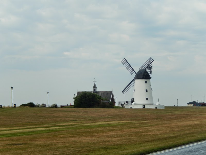
The iconic Lytham windmill

The gatehouse to Lytham Hall

A very contented (and well-endowed) bull in the grounds of Lytham Hall

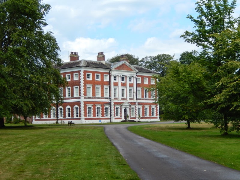
Lytham Hall

The tarn in the grounds of the hall

Fairhaven Lake with the scale model of a Spitfire

A close-up of the Spitfire


Saturday 26 July 2014

Pilling & Knott End

The coastal footpath at Pilling with the Lakeland fells in the distance

The coastal path looking towards Fleetwood

Some young rabbits are playing in the warm sunshine


A 2-man helicopter was flying low over the sands at low tide

Tiger Moth caterpillers


The main shopping street at Knott End


Low tide at the estuary of the River Wyre - Fleetwood (left) and Knott End jetty (right)

Queens Terrace at Fleetwood and the Pharos lighthouse

The lanes in this area of the Fylde have some strange (Anglo-Saxon?) names!

You'll neve make a scarecrow!

The entrance to Fluke Hall at Pilling

Thursday 24 July 2014

Blencathra & Sharp Edge - Cumbria (part 2)

Skiddaw range with Skiddaw centre left


The ridge to Gategill Fell

Thirlmere (left) and Derwent Water (right)

An Ordnance Survey Triangulation Station

St John's in the Vale

Derwent Water with Keswick, just visible in the centre

Looking back at Blencathra's saddle from the bottom of GategillD

A sign at Gategill kennels

Some young hounds out for a walk

Back at Scales

Looking back at the whole range from the A66

Tuesday 22 July 2014

Blencathra & Sharp Edge - Cumbria (part 1)

Starting the climb from The White Horse at Scales on the A66 Penrith to Keswick road

The first view of Sharp Edge ( an arete ) with Foule Crag in the distance

Zooming in on Sharp Edge

Looking back over Brunt Knott before starting the climb along the arete!

Half way along looking forward
Half way along looking back!

Looking down to Scales Tarn

Looking back down the length of Sharp Edge as the path starts to widen

Looking up to the summit of Blencathra from the saddle

The village of Threlkeld from the summit of Blencathra (2847ft)

"Which way to get off here?"