Friday 28 June 2019

Coledale, Hopegill Head and Whiteside. 11miles 2900ft


Walking up Coledale from the start in Braithwaite

Following a good path up to Coledale Hause

The disused Force mine workings at the head of the valley 

Passing the falls near the top of the hause

Looking back down the length of Coledale

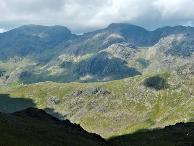
Grasmoor fell 852m from Coledale Hause

A lone fell runner on today's high point of Hopegill Head 770m
(2526ft)

The way ahead to Whiteside.... 

....after a detour to Ladyside Pike....

...for a view of Hobcarton Crag....

....then continuing the ridge to Whiteside

Crummock Water comes into view from the ridge

Time for lunch looking back to Hopegill Head

 Crummock Water again whilst having lunch

Descending the ridge towards Loweswater....

....then a few miles down the valley to Low Lorton for the bus to
Keswick 

Wednesday 19 June 2019

Crinkle Crags from the Old Dungeon Ghyll 9 miles 3000ft


Leaving the Old Dungeon Ghyll with Crinkle Crags somewhere ahead shrouded in cloud!

Looking across from Brown Howe to the falls in Hell Gill -
our route of descent later 

The five Crinkles begin to emerge from the cloud

Danny admires the view down the Langdale valley
from Great Knott...

 ... before arriving atop the first Crinkle

The summit of the second and highest crinkle 859m (2818ft)

Looking back at the first crinkle now free of cloud 

Bow fell 902m beginning to catch the sunshine

Exhilarating views in the gaps between crinkles....

 ....including Scafel, Scafel Pike and Ill Crag

Danny starts his second lunch of the day on the fifth crinkle
before the descent

The start of Hell Gill with Pike o' Blisco on the horizon

Whorneyside falls emerging from Hell Gill

A final look back at Crinkles or should that be 'a Crinkly'? 

Monday 10 June 2019

A gentle stroll this week in Weardale due to a troublesome toe!


I don't know the significance of this road side sign in Cowshill


Looking down Weardale

Typical pastoral scene in the dale 

Lead mines were prolific in Northern Pennines....

...Killhope mine has been restored and turned into an interesting
visitor centre

The River Wear flows past the mine 

The buildings and machinery have been well restored...

The Weardale way starts at the mine and follows the river for 76miles to the sea at Sunderland

There are a number of water catchments around the mine

The Weardale way follows the river closely

An attractive stretch of the river near Cowshill village

Friday 7 June 2019

Walking the Blencathra ridge - 10 miles 3850ft


The cloud covered Blencathra from the start at Threlkeld

Climbing the western ridge to Knowe Crags
Derwentwater in the distance 

Knowe Crags summit 804m

Looking from the top of Middle Tongue 851m

 Blencathra summit trigpoint minus plinth! 868m (2848ft)

Looking down Sharp Edge

Sharp Edge again with Scales Tarn

The view south at lunch-time on Foule Crag

Just two of the obstacles to be crossed on Sharp Edge

Looking back from Scales Tarn 

Blencathra from the climb up Souther Fell

A final zoom in on Sharp Edge

The seat cairn on Souther Fell

The A66 Penrith to Keswick with Great Mell fell

A very welcome half of Cross Bay Blonde at the finish in
The White Horse Inn