Thursday 26 May 2022

Little Town (Newlands) to Buttermere village

Little Town (Newlands) to Buttermere village 10miles 3000ft - 


Little Town to Robinson via Dale Head                      


Heading towards up the Newland fells from Little Town

My car parking area in the Newlands valley

Dale Head now in view with my route starting the climb up the faint

path on the grassy bank to the Right. It then continues heading left along the grassy shelf just below the summit, then left to right along the ridge.


Copper was mined in the Newlands fell over 100yrs ago and the mine holes can be seen above the screes over the valley. 


Zooming in on some the mines

Ruins of a miner's hut above the valley

Crossing the grassy shelf just below the summit

The view down the valley to Skiddaw fells from the grassy shelf

Arriving at the rather grand summit cairn 2473ft

The way ahead towards Robinson, Buttermere now just in view 

Fleetwith Pike in foreground with Great Gable above it

Looking back to Honister pass as I start the up climb Robinson 


Arriving at Robinson summit 2417ft with views to Keswick with Derwentwater and Blencathra....


....Buttermere, Crummock Water & Loweswater (Left to Right)

....Grasmoor & Wandope (of last week's walk)

Starting the descent to Buttermere

Looking across the Honister valley to Haystacks 

(Wainwright's favourite, where his ashes were scattered) 


....and to its left Kirk fell just touching the clouds

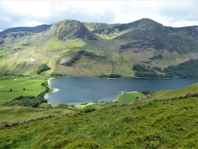
Buttermere again as the descent continues

Lunch time looking across Buttermere to Seat and High Crag....

....before descending to the water's edge for the path to

Buttermere village


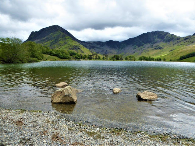
Fleetwith pike and Haystacks 

Zooming in on Haystacks

The path to the village closely follows the lakeside and passes

through....


 ....a short tunnel

...Just a short walk then to Buttermere village


Wednesday 18 May 2022

Buttermere village to Lanthwaite

 Buttermere village to Lanthwaite via Whiteless Pike, Wandope, Grasmoor & Gasgale Gill 10miles 3300ft


Setting off from the parking area just outside Buttermere village, High Stile & Red Pike on the horizon


Looking south down the Buttermere valley from Whiteless Breast

Crummock Water with Loweswater behind from Whiteless Pike   summit 2165ft


Looking north to Grasmoor today's highest objective

The path ahead to Wandope 

The view back down the route so far

Now on Wandope summit 2533ft with mist still in the valleys to the

 east


Approaching Grasmoor summit 2791ft with Crummock Water at the

 bottom of Rannerdale Beck


 On the north face of Grasmoor are Dove Crags with some great views down to Gasgale Gill about 1000ft below


 Another view from the crags to Whiteside & Whiteside Crags over

Gasgale Gill


My lunch spot just above Coledale Hause with the prominent

Grisedale Pike on the horizon


 Descending Gasgale Gill with Whiteside ridge and crags above the

gill....


....with Dove Crags on Grasmoor now behind me

Emerging from Gasgale Gill to near the side of Crummock Water 

 I then took a short walk along the side Crummock Water to

Lanthwaite hamlet....


 ....where there was a Final view to Grasmoor End while waiting for

my transport back to Buttermere


Wednesday 11 May 2022

Offa's Dyke Path!

Armed with a passport and Welsh phrase book I set off to walk a section of the Offa's Dyke Path!

The path roughly follows the border for 177 miles between England and Wales from Prestatyn to Sedbury on the Severn estuary 


Clwyd Gate to Loggerhead's country park via Offa's Dyke Path and the Devil's Gorge, 14miles 2600ft


Looking back along the path to Clwyd Gate - a road crossing point

on the path with Moel Gwy behind


The acorn symbol denotes that the path is one of the Britain's

national trails


The path follows a variety of scenery but this section is primarily

over the Clwydian mountains


The view down to the town of Ruthin

Descending Moel Fenlli heading for the next climb to Moel Famau

(Mother Mountain)


Zooming in on the nearest parking area to Moel Famau

A nice place to stop for a morning coffee and bite to eat.... 

 ....before the climb to the Jubilee tower on the summit of 

Moel Famau 1821ft


The tower was originally built in 1810 in an Egyptian style for the

golden jubilee of George the III  


A spiral stair case leads to the viewing area 

on the current flat top


While descending Moel Famau I could see Moel Arthur ahead, However it was now time to turn towards Loggerheads country park via Devil's Gorge 


This was now Limestone country and I could hear the sound of a

sunken river beneath the dry river bed  


The path through the gorge follows a wide ledge with 100ft wall to

the left and 100ft drop to the right


Looking down from the bridge on the path that spans the gorge 

Finally the path comes out upstream near the entrance to the

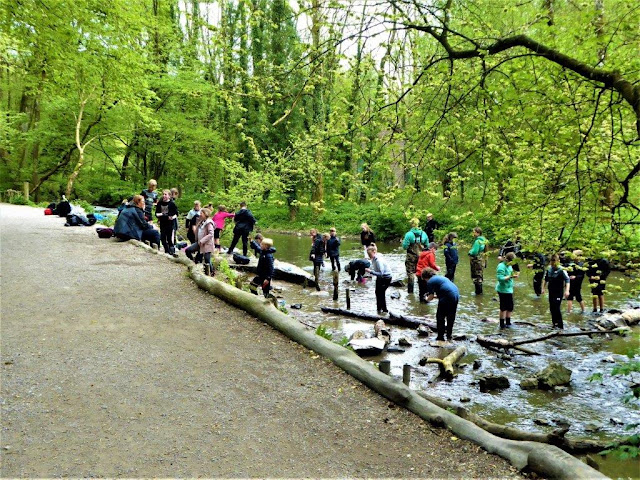
country park where a school party was enjoying an exercise in "exploring rivers"!