Loughrigg & Silver How: A circuit in Langdale from Skelwith Bridge 11.5miles 2700ft
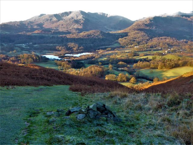
After parking at the Skelwith Bridge hotel I made the short climb to Loughrigg tarn. It was lovely clear but very cold early morning.
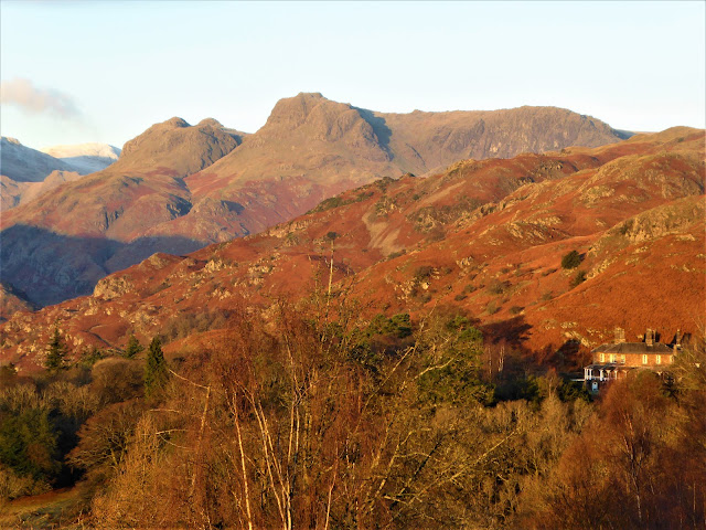
The sun was just catching Wetherlam....
....and the Langdale pikes....
....and Crinkle crags & Shelter crag
As I gained height on Loughrigg fell the Coniston fells came in to view
Looking north west from the summit of Loughrigg with Silver How in the middle distance
Looking south into the sun to Windermere
....and again
Grasmere from the descent of Loughrigg to Red Bank
The first snows of the winter forming a light covering on Dollywagon behind the lower summit of Seat Sandal
The outflow from Grasmere and the start of the river Rothay
Grasmere village and lake with Rydal water behind
The snow today was only on the very highest fells such as Helvellyn and Fairfield seen here with a very light covering. The fell top condition assessors who climb Helvellyn every day later reported a wind chill of almost -10c. It didn't feel much different standing here on Silver How!Grasmere village centre from Silver How
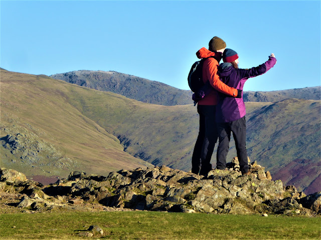
I met this lovely couple on Silver How summit the first walkers I'd seen that morning. "Hope your selfie came out well!"
I then crossed the ridge back to the Langdale aspect taking in the little tops of Lang How & Swinescar Pike with a good view to Crinkle crags again....
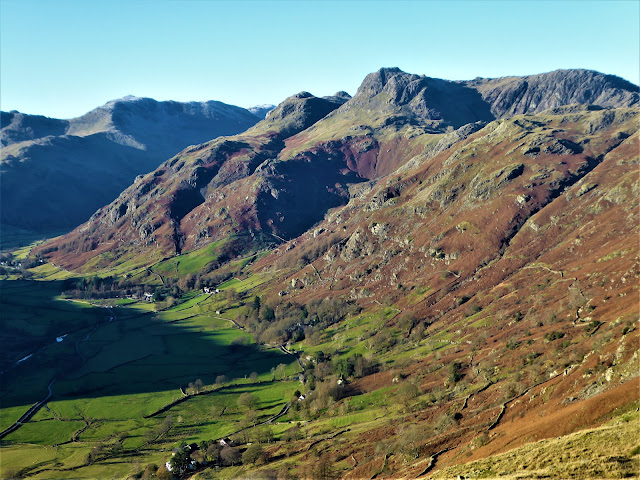
....and the Langdale pikes
I then descended into Langdale down a superbly engineered zig-zag path beside Swinescar gill seen here from the valley floor
The final few miles took me down the length of Great Langdale passing Elterwater and then back to Skelwith Bridge


No comments:
Post a Comment