Kentmere to Windermere
via Kentmere Tarn, Buck Crag, Sallows & Sour Howes. 11miles 2300ft
After parking at Millrigg in the Kentmere valley I set off following the river Kent upstream....
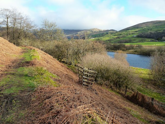
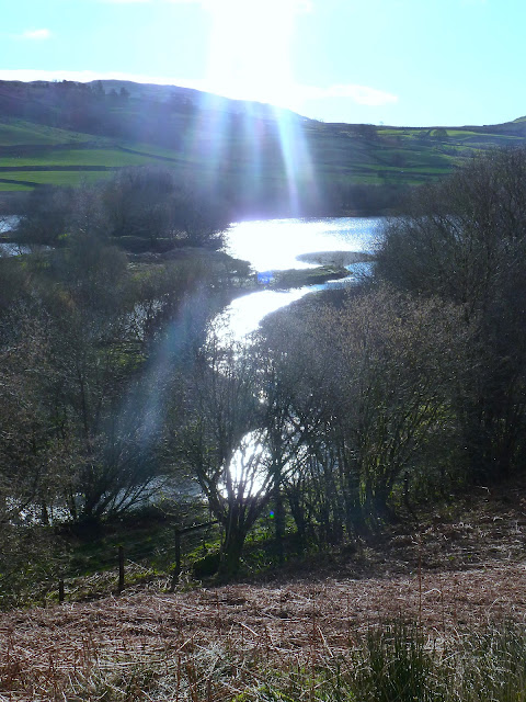
....passing Kentmere Tarn...
....and again
Kentmere village soon came into view
Zooming in on St Cuthbert's church in the village
Kentmere Hall with Piked Howes behind
After taking the Garburn Road track I branched off north to climb to Buck Crag....
....with a view from the summit to Rainsbarrow Crag and the ridge of Nan Bield Pass behind....
....and south to Morecambe bay
With the very strong cold wind at my back I walked south and soon arrived at Sallows summit cairn, looking to the Coniston fells....
....and the Langdale Pikes and Bowfell in cloud
On the way to Sour Howes summit I had a view into the upper Troutbeck valley....
....and Troutbeck village from Sour Howes summit
Windermere was now in view from the final descent...
....and Limefitt Park immediately below
Windermere again as I headed for Troutbeck Bridge and....
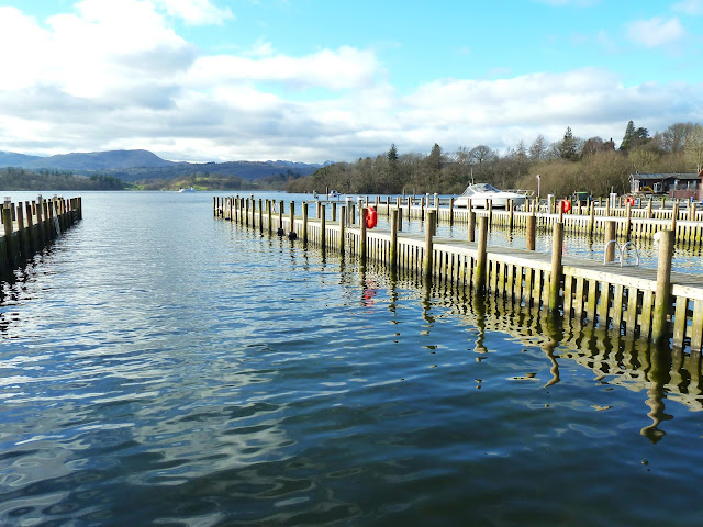
....finishing lakeside at White Cross Bay....
.....with a final view to Crinkle Crags, Bowfell and the Langdales with a dusting of snow.
My original plan for today was to start with Rainsbarrow Crag and Yoke, but as soon as I felt the strength of the bitter cold wind I decided instead to follow the route described above. It proved to be a wise decision and turned out to be a great day on the fells.


No comments:
Post a Comment