Coniston to Tilberthwaite
via Boulder valley, Swirl How
and Wet Side Edge 10miles 3300ft
Setting off from the centre of Coniston village....
....then climbing alongside the beck in Coppermines valley
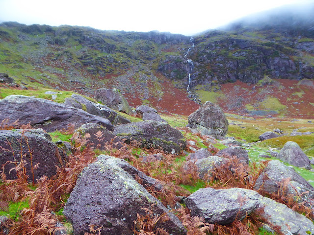
Leaving the valley I followed the path into Boulder valley....
....Boulder valley is named because of the massive boulders found along its length
Some are at least the size of two double decker buses
Emerging from the valley with a view to Coniston village and lake....
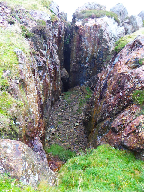
....and passing the workings of the disused copper mines....
which are above Levers water. Leaving Levers water I climbed to the Coniston fells ridge and headed north through the clouds to....
.....Swirl How summit, today's highest point at 2631ft
Further north along the ridge is Great Carrs fell summit with the remains of an American bomber plane which crashed 22nd October 1944 with the loss of all 8 crew
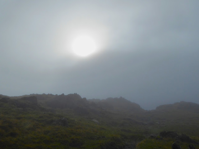
As I left the summit the sun was just beginning to appear through the clouds and stayed for the rest of the day....
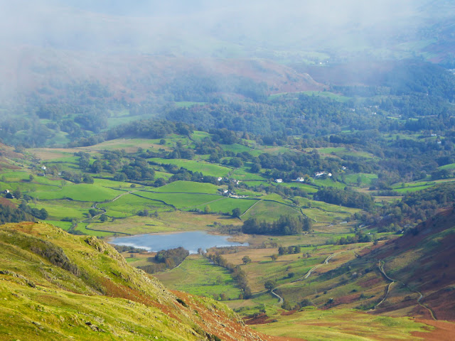
....including while I sat here for lunch in lovely warm sunshine admiring the view down Wet Side edge into Greenburn....
....and down to Little Langdale tarn....
....and back to the ridge I'd crossed earlier
Continuing down the ridge I could see the summit of Wrynose pass....
.....and down towards Little Langdale...
.... there was also a good view of the Langdale pikes
from L to R
Pike 'o' Stickle, Loft Crag, Harrison Stickle &
Pavey Ark
The remainder of the walk was a delightful stroll through Little Langdale....
....passing Little Langdale tarn....
....and finishing here in Tilberthwaite
A great day's walking with interest, and variety of scenery & weather!!


No comments:
Post a Comment