Wednesday, 25 August 2021

Grasmere to Skelwith Bridge

Grasmere to Skelwith Bridge via Silver How,

Holme Fell and Black Fell - 13.5miles 3400ft

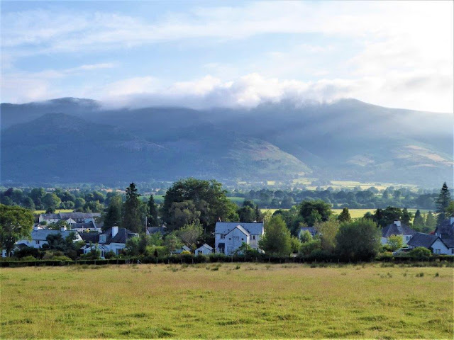
Thick cloud in Grasmere, so 1st photo is three photographers on the
summit of Silver How hoping the mist lifts soon!

Then  the descent to the Brittania Inn at Elterwater   

13.30am on the path to Hodge Close the cloud began to lift

Mist droplets lingering on the web

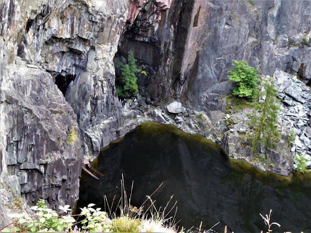
Hodge Close disused quarry. This is where 'Cathedral Caverns' are
located. People in the pool exit of one can just be seen centre left.

Zooming in on the same people

Passing two unnamed tarns near the top of Holme Fell

ditto

Coniston Water from the top of Holme Fell

Arriving at Tarn Hows on the way to Black Fell

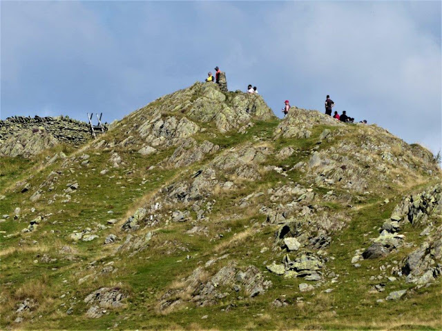
Plenty of holiday makers on top of Black Fell

The panorama looking north

Harrison Stickle and Pavey Ark, part of the Langdale fells.
Stickle T
arn can just be made out under the crags of Pavey Ark. 

Also Lake Windermere and the Lowood Bay Hotel complex could be seen

The Langdale fells again

Finally crossing the bridge into Skelwith Bridge


Tuesday, 17 August 2021

Whinlatter, Low fell, Fellbarrow & Ling fell


Whinlatter, Low fell, Fellbarrow & Ling fell in North west Lakeland.
15.5miles 3600ft 

Climbing to Whinlatter top through the forest park 

Looking towards Keswick and Skiddaw from one of clearings

Zooming in on Keswick through the mist from Whinlatter summit
1696ft

Next comes Low Fell after descending to the village of Loweswater

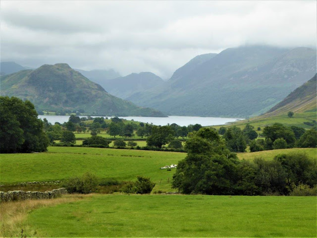
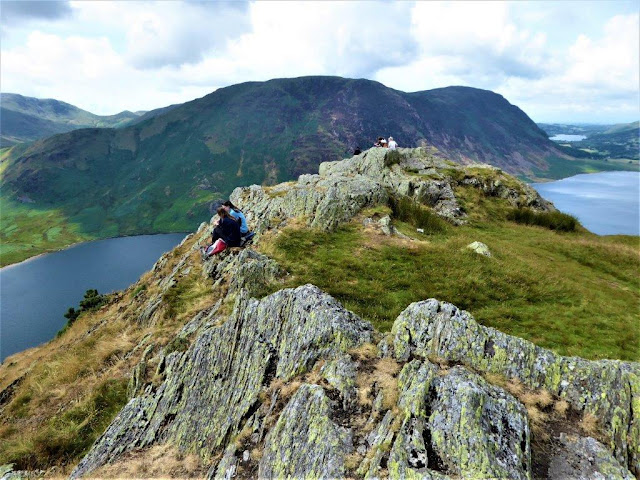
Looking down Crummock Water to the Buttermere fells

Loweswater from the summit of Low Fell 1360ft. Then rain and low
cloud whilst crossing the ridge to Fellbarrow 1363ft.
So no photos 
until....

....descending to the village of Lorton

A walk up Lorton Vale towards Cockermouth brought Ling Fell the
next objective into view 

Some of the rich vegetation on the side of Ling Fell

Ling Fell summit trig point 1224ft

Bassenthwaite lake could just be seen from the top

Descending to the final destination Wythop Mill


Wednesday, 11 August 2021

Longlands fell to Binsey

 Longlands fell to Binsey via Brae fell,

Meal Fell and Great Sca Fell (not to be confused with the Scafells of
Englands highest mountains) - 11.5miles 2900ft 

Low cloud early this morning so no pics from Longlands fell or Brae
fell, then finally the sun began to appear over the summit of Great Sca fell today's highest point 2136ft

A little clearer descending from Meal Fell

The heather was in full bloom on the lower slopes....

....and again

Looking back after descending through the Trusmadour gap

The River Ellen valley with Binsey now on the horizon

The very exclusive Overwater Hall Hotel....

....with delightfully peaceful grounds

Looking back across the valley to Dash Falls with Skiddaw behind

Now climbing Binsey with Overwater lake and this morning's fells
behind

Also Bassenthwaite lake could be seen in the distance 

Binsey summit 1466ft

A panoramic view looking to the Solway Firth coast


Criffel fell on the Galloway peninsular on the other side of the
Solway Firth


Descending via Binsey's West Crags


A final view back to Binsey

Wednesday, 4 August 2021

Braithwaite to Buttermere

Braithwaite to Buttermere via Barrow, Sail Pass, Ard Crags, 

Knott Rigg and Rannerdale Knotts. 11miles 3600ft   

Setting off from Braithwaite with Skiddaw in cloud behind

Bassenthwaite lake comes into view from the start of the climb up
Barrow 1494ft.

Causey Pike (left) and the path to Sail Pass from Barrow 1494ft

Looking down on Force Mine in Coledale from Sail Pass

Approaching the top of Sail Pass

High Stile and Red Pike above the Buttermere valley

Keskadale farm in Newlands Valley from Ard Crags 1906ft 

Looking back to Ard Crags from Knott Rigg 1824ft 

Descending to Newlands Hause with Moss Force behind

Crummock water now in view from the climb up Rannerdale Knotts

Buttermere from the ridge to the summit

Rannerdale Knotts summit 1165ft with Crummock water either side

Grasmoor and its surrounding fells from the summit

Arriving at the Bridge hotel in Buttermere village